NASA ARSET: Introduction to Mapping, GIS, and Drones, Sessions 1-3
30%
OF LAND
Indigenous peoples use or manage more than a quarter of Earth's surface, yet represent just 5 percent of the world's population.
We have many challenges with colonizers in our territories who destroy our forests and resources, and technology can help us. Our communities are traditional, yes, but we can learn to use these tools through this project and they will help us manage our lands.”
How we work
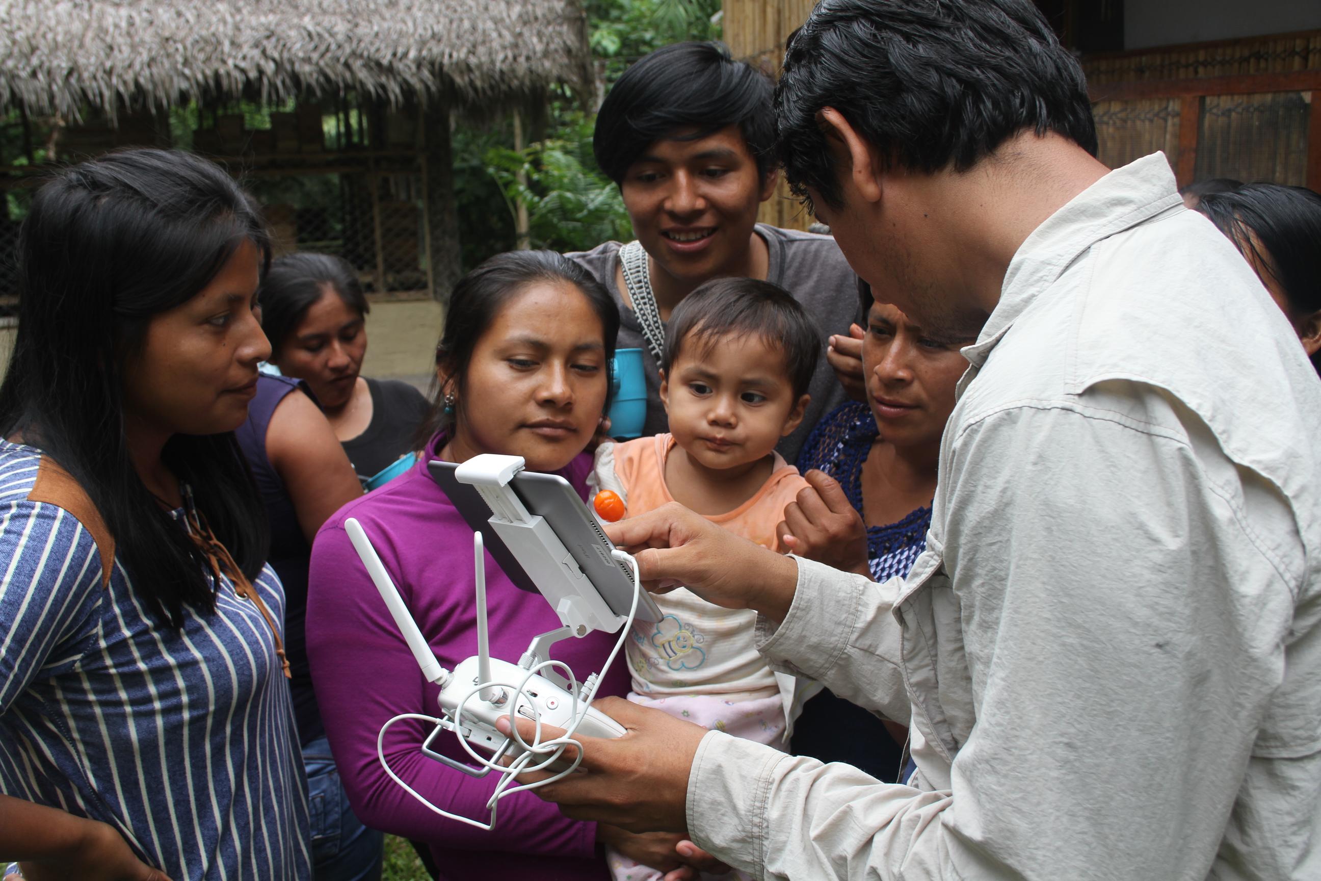
Conservation International piloted the EO4IM program with the Awajún people of Peru and the Achuar Nation of Ecuador — two Indigenous groups whose land is increasingly vulnerable to encroachment from new migrant settlements and illegal logging.
Through a collaborative process including in-person assessments of community needs, training courses and a NASA webinar series, the EO4IM program supported Indigenous peoples to use geospatial technology — tools to map and monitor Earth’s geographies — to address threats to their lands.
Drawing from the lessons learned through EO4IM, Conservation International is developing targeted trainings and materials to support Indigenous peoples as they build on their existing knowledge of nature to help face modern threats to their lands, waters, and resources.
Supporting Indigenous peoples to conserve and continue to sustainably manage their territories is critical for reducing climate-warming carbon emissions, improving resilience to climate breakdown, protecting wildlife and conserving the heritage of Indigenous cultures around the world.