As fires threaten some of Earth’s most valuable high-carbon ecosystems, real-time tracking information on active fires is more critical than ever.
Firecast, a fire monitoring and alert system for the tropics, uses Earth observation satellite data to track ecosystem disturbances such as fires and protected area encroachment — delivering this time-sensitive information to decision-makers in near-real time.
For urgent threats, such as active fires, the tool serves as an alarm for forest managers, communities and governments, enabling swift action. Over time, Firecast’s dashboard enables users to analyze trends and patterns in an area of interest to see where conservation efforts are needed most and measuring how successful those efforts are.
The challenge
Wildfires in the tropics are increasing in quantity and extent as dry seasons grow longer and more intense. These fires release massive amounts of climate-warming carbon into the atmosphere, creating economic strain, displacing communities and causing land degradation. They also destroy wildlife habitats and threaten critical ecosystem services, such as water filtration and pollination.
How Firecast works
Firecast aims to prevent the destructive effects of fires on natural ecosystems and human well-being. The tool provides timely monitoring information on active fires that decision-makers need to protect tropical forests and prevent more fires.
Firecast alerts are customized to the needs of targeted user groups in our focal countries and are delivered via email alerts, interactive maps and reports on the Firecast website. Users can even tailor their alert subscriptions to specific areas of interest and their language of choice.
Firecast Success Stories
Indonesia
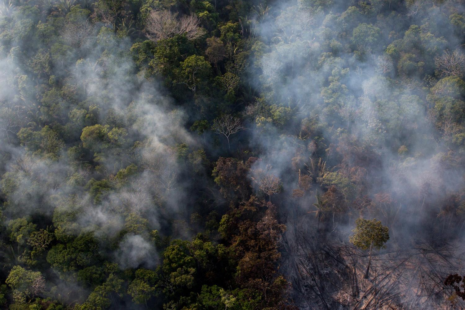
In 2007, a fire deep within a large national park in Indonesia was detected by NASA satellites. Within hours, an email alert from Firecast informed the park manager of the fire, who then dispatched rangers to investigate it. The rangers discovered that illegal loggers had cleared the forest for a temporary settlement to gain quick access to selectively log the timber in the park. The rangers arrested 84 people and removed them from the park that same day.
Bolivia
Fundación Amigos de la Naturaleza (FAN), a Conservation International partner in Bolivia, worked directly with rural and Indigenous farming communities, advising them of the ecosystem, health and economic risks of burning agricultural fields during peak fire conditions. Conservation International partnered with FAN to develop national fire risk maps that FAN shared with the communities they supported to help reduce fire disasters.
Madagascar
The data reported by Firecast are vital for protecting restored forest areas, which are particularly vulnerable to fires. WWF Madagascar used Firecast's active fire web map as part of a community outreach campaign to highlight the importance of protecting the Amoron'i Onilahy Protected Area in southwest Madagascar. Fires from nearby villages were threatening 44 hectares (109 acres) of newly reforested area in the reserve. Three years after the restoration, the site was still 85% intact — a high success rate for a restoration project.