The catastrophic weather phenomenon El Niño is brewing in the Pacific. It’s intensifying fast — the ocean hasn’t been this warm in at least 12,000 years.
Climate models say it’s on track to be the strongest on record, possibly the strongest in far longer than records have been kept. Soon, the effects will ripple across the planet: drought in some places, deluges in others.
We sat down with Lee Hannah, Conservation International’s lead climate scientist, to talk about what this El Niño could mean — not just for this year, but for a future where these events hit harder and more often, for wildlife and people alike.
What is El Niño?
Lee Hannah: It's a global climate pattern — a specific set of ocean and atmospheric conditions that develops in the Pacific and ends up affecting weather worldwide. The most notable feature is a shift of warm water from the western Pacific, near Fiji and Tahiti, toward the eastern Pacific, near Peru and Ecuador.
That shift happens because the Pacific trade winds weaken, which lets warm surface water that's normally concentrated in the west spread east toward South America. As that warm water moves in, it suppresses the cold, nutrient-rich water that comes from the deep near the Galápagos. Normally, that cold water feeds an entire food web — fish, seabirds, sea lions, sharks — making it one of the most productive stretches of ocean on Earth. When El Niño stifles that, productivity collapses.
And while it starts in this one corner of the Pacific, the effects ripple outward, reshaping weather patterns across the globe for months at a time.
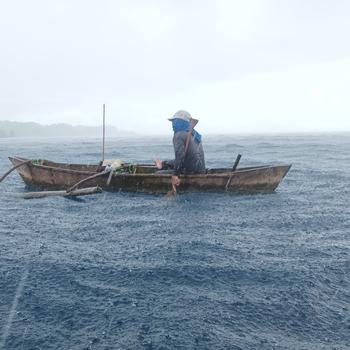
The name itself comes from Peruvian fishermen, who see some of the worst local effects — the collapse of their fishery. A long time ago, they noticed the impacts tended to peak around Christmastime, so they named it El Niño, after "the Christ child."
Does El Niño always happen at the same time of year?
LH: El Niño typically begins to warm the waters in the spring, peaks in late fall and winter and then winds down by the following spring. But the exact timing varies from event to event, and this year stands out: we're already seeing effects this summer, months ahead of schedule. That early onset, combined with how long forecasters expect it to persist, is part of why this El Niño is on track to be the strongest in at least 80 years of record-keeping.
How does this year’s El Niño compare to past events?
LH: To qualify as a "super" El Niño, ocean temperatures in this region need to spike at least 2 degrees Celsius (3.6 degrees Fahrenheit) above average. This year's event is expected to blow past that threshold, putting it on track to exceed the last three strong El Niños — beginning in 1997, 2015 and 2023.
What impacts are we already seeing?
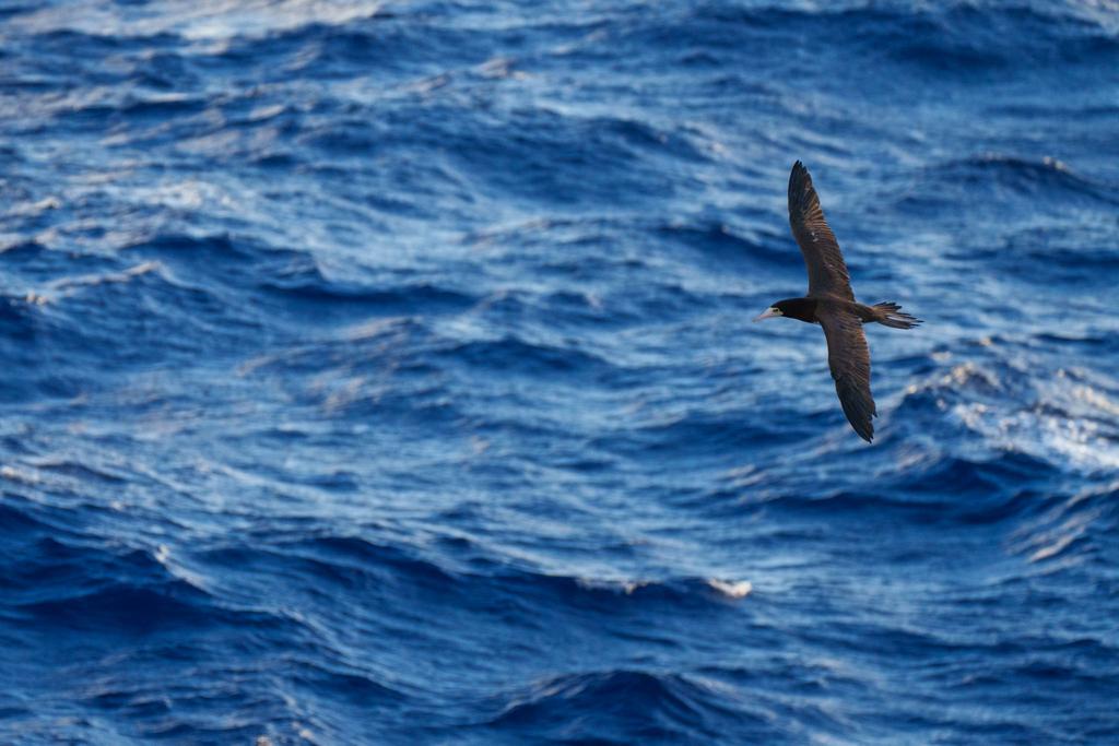
LH: In Ecuador, bird deaths are being reported at rates four to five times the normal rate. As El Niño warms the water, it disrupts the food supply these birds rely on, and they’re starving.
We’re seeing it in the water, too. I was just on a research trip in the Galápagos, at a dive spot known for sharks because of its cold currents, and we saw many. Three days later, another group went to the same spot and didn’t see a single shark. That’s highly unusual for this time of year, and a sign that El Niño is already starting to shut those currents down.
What effects can we expect as this El Niño ramps up?
LH: We'll start to see the effects spread well beyond the Eastern Pacific. Some of that is directly driven by the warm water moving across the ocean; other effects are what's called teleconnections — weather patterns in distant parts of the world that reliably shift in tandem with El Niño, even though they're only indirectly connected to the Pacific warming itself.
In practice, that means drought in places like Panama, Guatemala, southern Africa and India, affecting tens of millions of farmers and shipping traffic in the Panama Canal because of the extremely low water levels. In other regions, it means the opposite: later and heavier rainfall in Peru and Ecuador, the southern United States, East Africa and central Asia.
Taken together, the United Nations’ World Food Program estimates these shifts could push an additional 49 million people into hunger.
How does climate change affect El Niño?
LH: El Niño is a natural cycle; climate change doesn't cause it. But it makes El Niño worse, and possibly more frequent — similar to how it works with hurricanes. Human activity doesn't create hurricanes, but it does make them stronger because warm ocean water feeds them. Climate change is warming the ocean overall, so when El Niño arrives on top of that already-warmer baseline, its effects are likely to hit harder.
Can anything be done to lessen the worst impacts?
LH: Absolutely. We're holding a summit in Panama in mid-October, when the models will be much more certain about how big this El Niño will get and exactly where it will hit hardest. We're bringing together policymakers, fisheries managers and marine protected area managers to talk through the kinds of responses they can take.
A few examples: for seabird populations at risk, that means preparing for unusually large numbers of birds needing rescue — normal rescue efforts may need to scale up significantly to preserve as much of the population as possible. Coral reefs will also take a hit through bleaching, so limiting tourism or other stressors on damaged reefs can help them recover, both in the near term and in the years after. And for fisheries, there are options like social support payments for fishers who've lost income, as well as help transitioning them to other fisheries or activities to supplement what they've lost.
What’s at stake?
LH: In the age of climate change, it's getting harder for species to recover from these events. El Niño is hard on fishermen, but also on Galápagos penguins, blue-footed boobies, sharks, sea turtles — anything that depends on the ocean for food is going to have less to eat when warm water shuts down the Galápagos upwellings. And recovery isn't quick. Lose a million sea lions, and that population doesn't bounce back overnight — it takes years, even decades. If El Niños start hitting more frequently, populations won't get that full recovery window.
That's what makes this more than an isolated crisis — it's a preview of what ocean conditions could look like a decade from now. Our task now is figuring out where species are most likely to survive these disruptions, both short-term shocks like El Niño and the longer-term warming driving them, so those areas can be prioritized for protection.
We're currently tracking five of the ocean's most well-known migratory species — whales, sharks, manta rays, sea turtles and dolphins — and already seeing them shift poleward in search of cooler water. Given how severe this El Niño is, we expect some radical rearrangements. What we learn will help determine where future marine protected areas go. The climate change already underway can't be undone. But how we cope with it — that's still up to us.