Editor's note: News about conservation and the environment is made every day, but some of it can fly under the radar. In a recurring feature, Conservation News shares a recent news story that you should know about.
Nearly three-quarters of Earth’s surface is covered in water. As climate change drives sea level rise, and more extreme droughts and floods, understanding the world’s water patterns is increasingly important to our ability to adapt. Luckily, scientists are coming up with new ways to do just that. The latest: satellites.
NASA and the French space agency CNES recently launched the Surface Water and Ocean Topography (SWOT) satellite into orbit to begin a three-year mission dedicated to scanning the Earth’s oceans and freshwater. During its stint in space, SWOT will use radar technology to monitor 90 percent of all waterways — seas, lakes, rivers and reservoirs — Ramin Skibba reported in WIRED.
The solar-powered satellite, about the size of an SUV, will regularly produce high-resolution maps of 2 million kilometers (1.3 million miles) of rivers and any body of water larger than 6 hectares (15 acres) — roughly the size of three city blocks. While some of these waterways can be measured manually, many are in tough to reach areas — think the Javari River tucked deep within the Amazon, or Karda Lake on the northern slope of Mount Everest.
SWOT’s maps will help scientists better understand water trends — from surface area to depth — around the world, which is essential to predicting the potential impacts of climate change and assessing effective responses to those threats.
“This data will come in handy for a range of applications,” Skibba wrote, “like mapping the need for water and its availability for crop irrigation in rural areas; measuring the extent of flooding, such as the recent deluge in Pakistan; and assessing the climate vulnerability of places like the Congo river basin, which is frequently exposed to flash floods and droughts.”
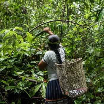
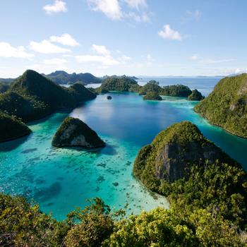
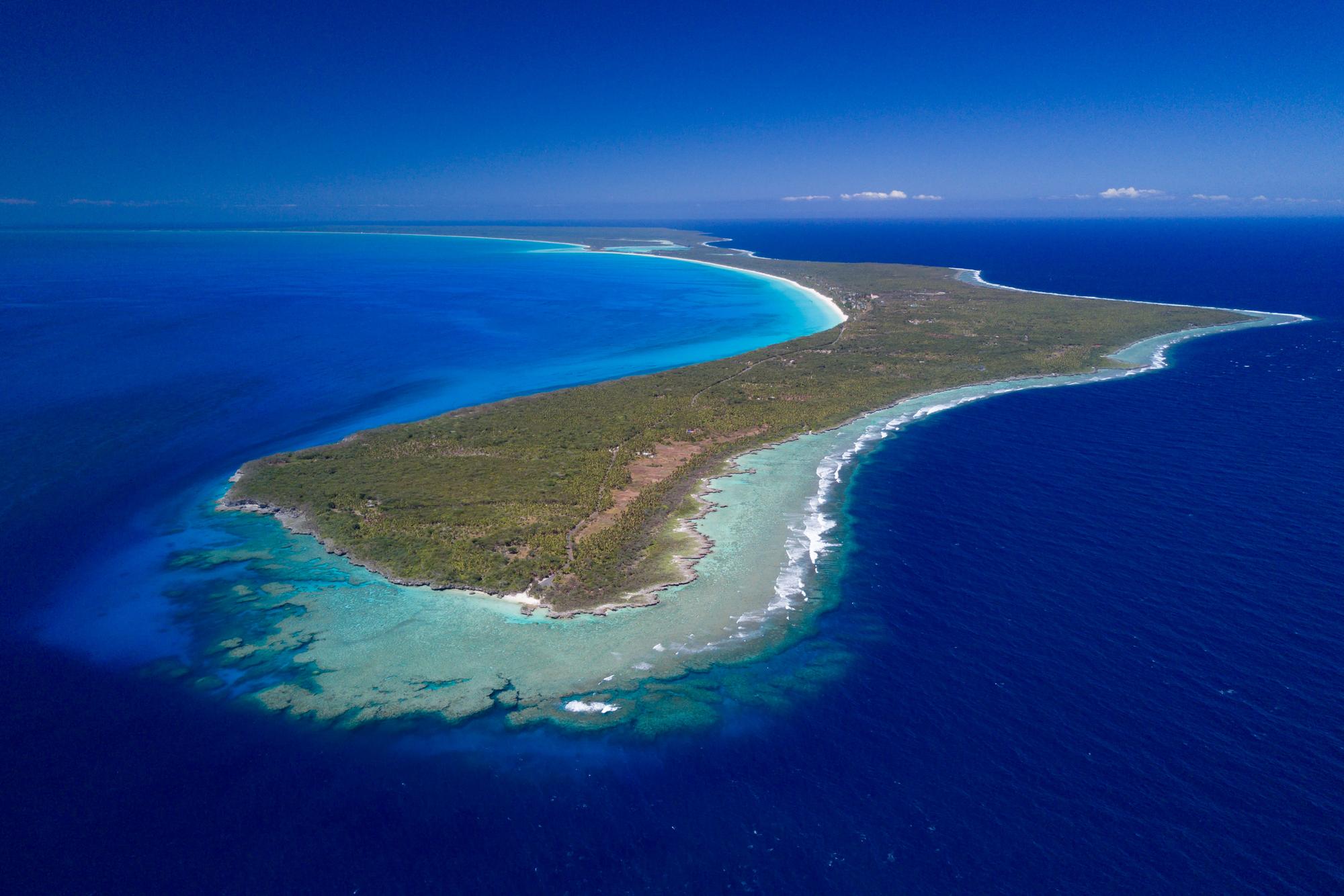
Scientists estimate that between one-quarter and one-third of humanity’s annual carbon emissions are absorbed by the oceans alone, more than any other type of ecosystem. Changes in ocean temperatures affects sea levels and currents, and can alter climate patterns around the world ocean. And, further inland, reliable access to freshwater can mean the difference between life and death.
Conservation International freshwater scientist Kashif Shaad, who last year published research on the relationship between changes in the climate and the world’s water systems, said SWOT’s data could help researchers, policymakers and resource managers better plan for floods, droughts and other impacts — ultimately better preparing communities for water-related dangers.
“Climate change is injecting a lot of uncertainty into surface water availability and water-related hazards like floods and droughts,” Shaad said. “Access to accurate data is a game changer. It can help us understand how our decisions affect water resources — for example, do we need to make changes in our water management practices, what are the tradeoffs and how can we avoid worst-case scenarios?”
Read the full story from WIRED here.
Further reading:
Notes from the field: Protecting an African oasis
Expert: Ending the global water crisis ‘starts in your back yard’
Emma Cummings-Krueger is the media relations writer at Conservation International. Want to read more stories like this? Sign up for email updates. Also, please consider supporting our critical work.