Things might look a little different around here... Welcome to Conservation International’s new digital presence.

Active Project

Trends.Earth

Climate

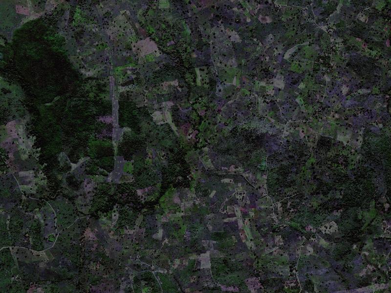
Trends.Earth is an online platform that monitors "land degradation" — the reduction or loss of the biological or economic productivity of land. Using Earth observation satellite imagery and global data, Trends.Earth can identify degraded areas and help decision-makers improve them. Piloted in four African countries, the tool can now be used anywhere in the world.

Trends.Earth uses cloud computing to process massive Earth observation satellite images into usable information, assessing land trends through three indicators: land productivity, land cover and soil carbon.
Visit the Trends.Earth website

How does Trends.Earth work?

Trends.Earth offers data and tools to inform land management decisions. The platform uses cloud computing to process massive Earth observation satellite images into usable information, assessing land trends through three indicators: land productivity, land cover and soil carbon.