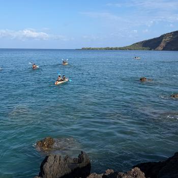
Within Liberia’s borders lies one of the last strongholds of intact forests in West Africa.
But as Liberia’s economy recovers following years of civil war, experts fear that these forests — and other ecosystems across the country — could become victims of unsustainable oil palm development, urbanization and logging.
To prevent this, the Liberian government must first know where its most valuable ecosystems are located, how much of them is left and what critical services they provide to people.
A groundbreaking effort is helping them achieve the first step in charting a course for a more sustainable future.
In partnership with Conservation International and NASA, the government of Liberia recently mapped the country’s diverse ecosystems — from lush forests to coastal mangroves — and analyzed how they have changed over time.
These “Ecosystem Extent Maps” will help the government quantify the economic benefits of Liberia’s natural resources and the services they provide to people — the country’s “natural capital.” They were created using remote-sensing data generated by NASA’s fleet of Earth-observing satellites and field surveys from Conservation International scientists on the ground.
- FURTHER READING: What on Earth is ‘natural capital’?
The next step: For decision-makers to use these maps to promote the value of Liberia’s natural capital when planning its long-term economic growth and development.
“The maps enable the government to determine the true extent of Liberia’s forests, mangroves and freshwater ecosystems, each of which provides the economy and communities with services essential for livelihoods and long-term economic resilience,” said Daniel Juhn, vice president of Conservation International’s Moore Center for Science.
Working with the Liberian government, Conservation International and NASA will continue to develop even more detailed maps of the country that account for the condition of its ecosystems and quantify the specific services they provide to people at community and regional levels.
The mapping initiative in Liberia — which serves as a model for similar, future projects in Gabon and Botswana — supports the goals of the Gaborone Declaration for Sustainability in Africa (GDSA), a commitment made by 18 African countries to invest in a new model of development that takes into account the economic value of the continent’s natural resources.
“With this effort, the Liberian government is leading the way regionally in assessing nature’s values, something that is needed to inform planning, sustainable development and conservation efforts in-country and across Africa,” Juhn added.
To learn more about how the Liberian government will use these maps to protect the country’s nature and economy watch the video below.
Video courtesy of NASA.
Kiley Price is a staff writer for Conservation International. Want to read more stories like this? Sign up for email updates. Donate to Conservation International.
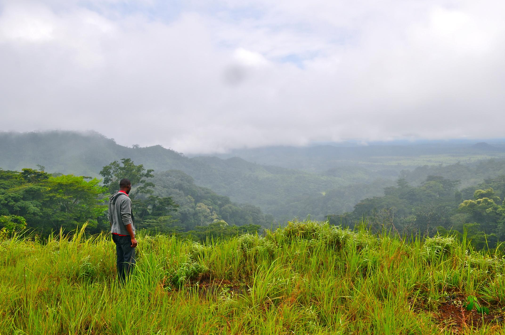
Cover image: A man looking out at the East Nimba Nature Reserve, Liberia (© Conservation International/photo by Bailey Evans)
Further reading:
- To a country on the edge of development, what is nature worth?
- Looking ahead: After lost year, urgency rises for climate, nature policy