Projects List
![]() CI GEF Project
CI GEF Project
The boundaries and territory/country names shown on this map do not imply endorsement or acceptance by Conservation International or its partners, and are for reference purposes only.
Enabling the use of Global Data Sources to Assess and Monitor Land Degradation at Multiple Scales
Objective:
To provide guidance, methods, and toolbox for assessing and monitoring status and trends in land degradation using remote sensing technology which can be employed to inform land management and investment decisions as well as to improve reporting to the UNCCD and the GEF.
GEF Project ID: 9163
Countries: Global
Focal Area: Land Degradation
Approval Date: 11/23/2015
Project Status: Closed
Period: GEF-6
Executing Agency: Vital Signs, NASA, and Lund University
GEF Total Grant: USD $1,828,217
Cofinancing Total: USD $10,003,781
Contact Information: Free de Koning
Project Website: GEF-Secretariat Project Link
Additional Links: vitalsigns.org/gef-ldmp

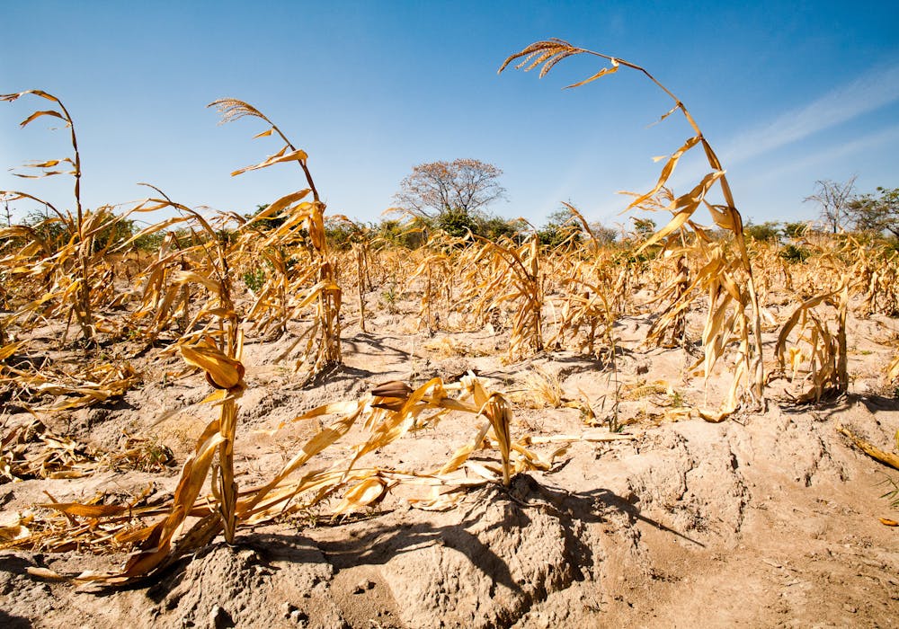
© Benjamin Drummond
Project Documents
One-Step MSP
- One-Step CEO Approval
Safeguard Plans
- Safeguard Plans
Implementation
- Implementation
Project Close-Out
- Project Close-Out